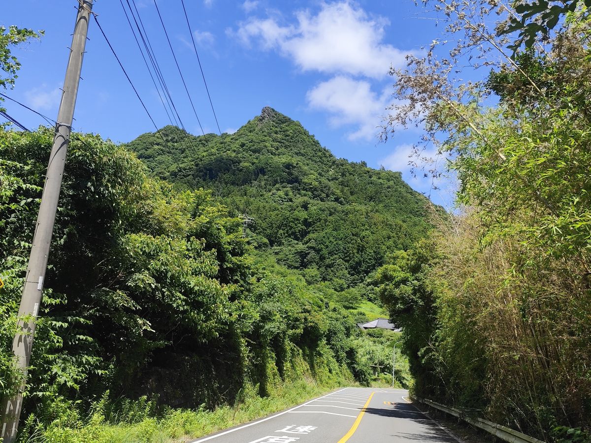
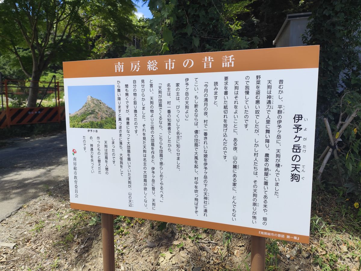
Located at Minami-boso, Chiba Prefecture is Mt. Iyogatake. It's not too high at just 336m but this mountain features steep sections near the summit where ropes and chains are involved.
Budget
¥3,960 round-trip train Kita-Kogane Station - Iwai Station
¥200 Bus ride from trailhead to Iwai Station (only did this on my way home)
¥1,000 food and drinks
Schedule
7:00 AM: Left home
7:25 AM: Rode the train
10:22 AM: Iwai Station
12:00 PM: Arrived at trailhead by foot
1:00 PM: Summit
2:00 PM: Back at trailhead
2:48 PM: Bus ride back to Iwai Station
3:50 PM: Rode the train back to the city
6:22 PM: Chillin' at home
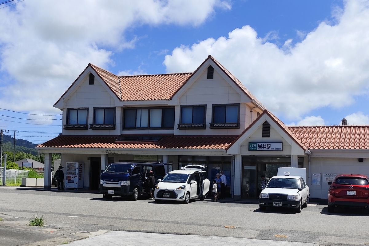
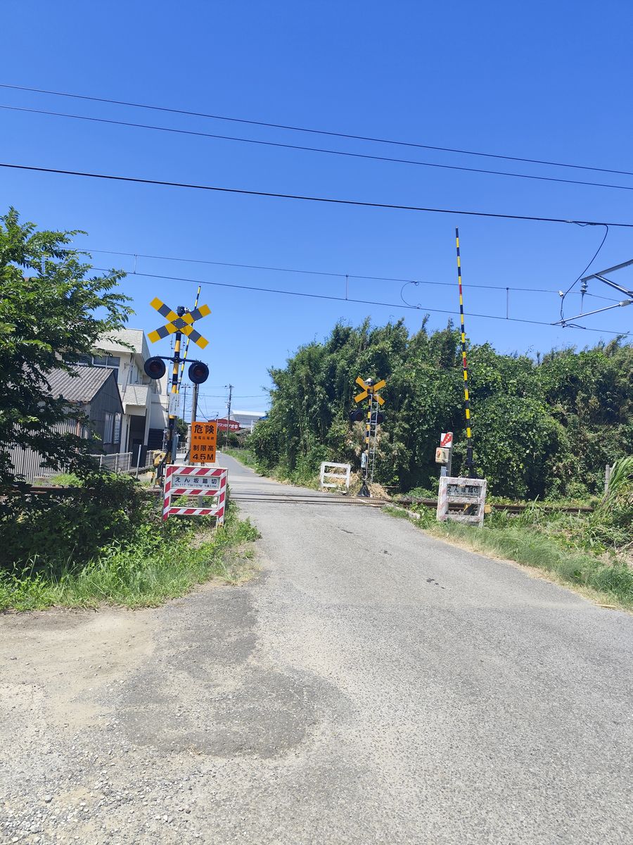
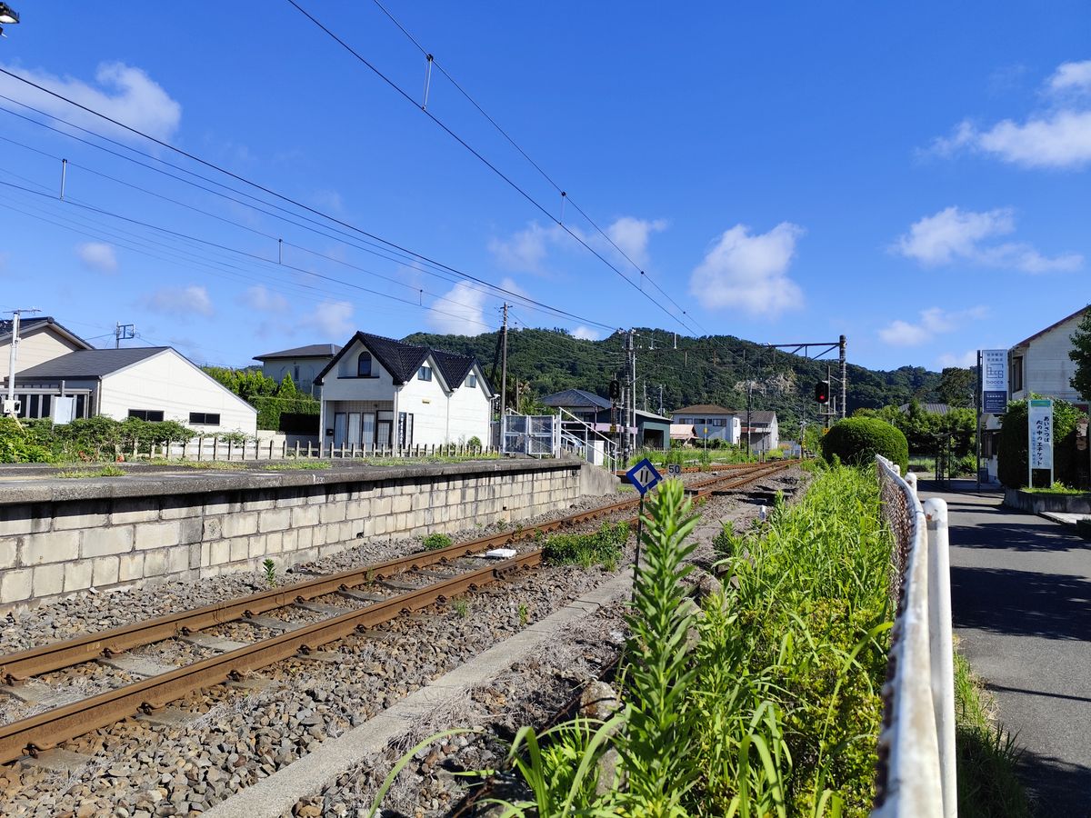
Upon arriving at Iwai Station, the area feels dead and empty. I was the only person that dropped-off from this station. There were some shops around the station but everything is closed.
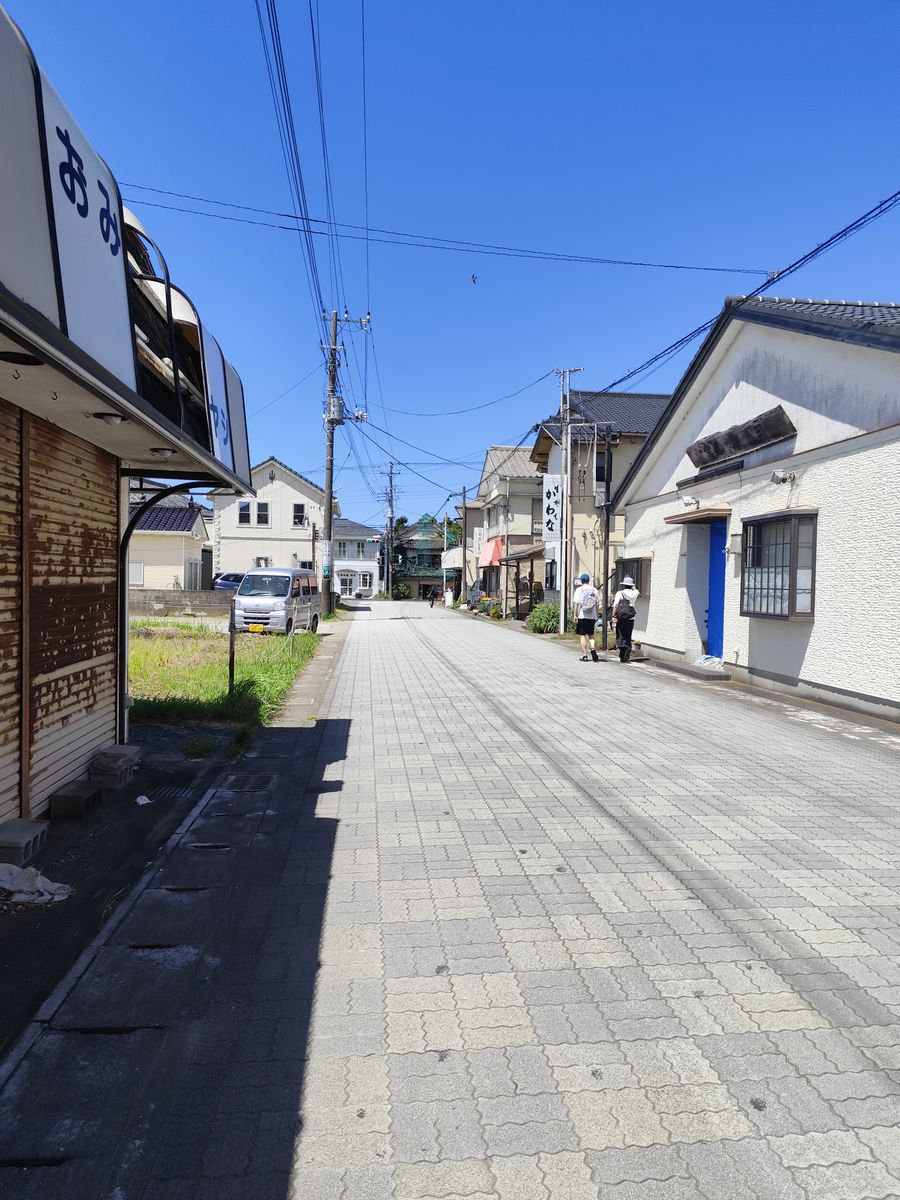
The bus from the station to the trailhead only have 3 trips per day. I didn't take the bus on my way to the trailhead and decided to walk. It was around 8 km (1:45 mins. walk). Around 1 km away from the station, I bumped into a Lawson where I got some food and extra drinks.
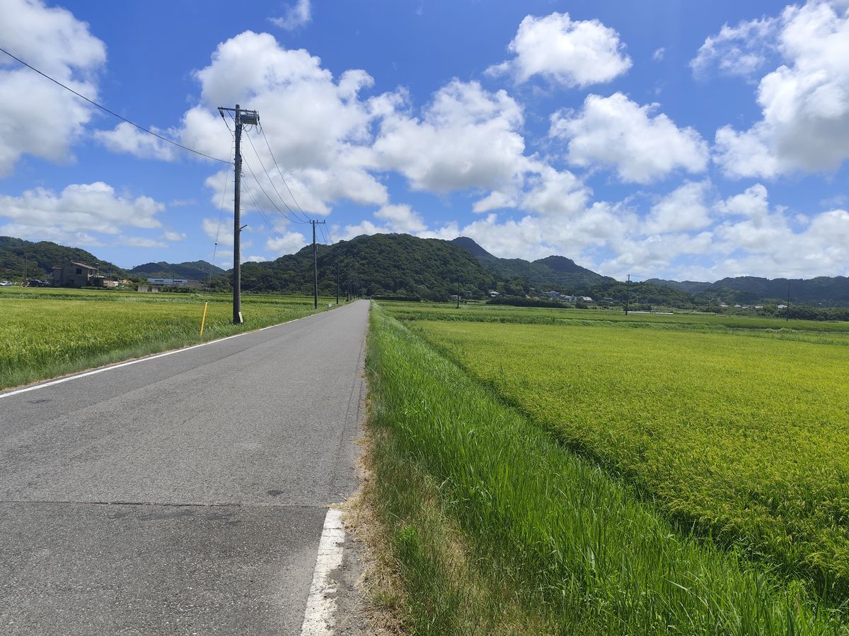
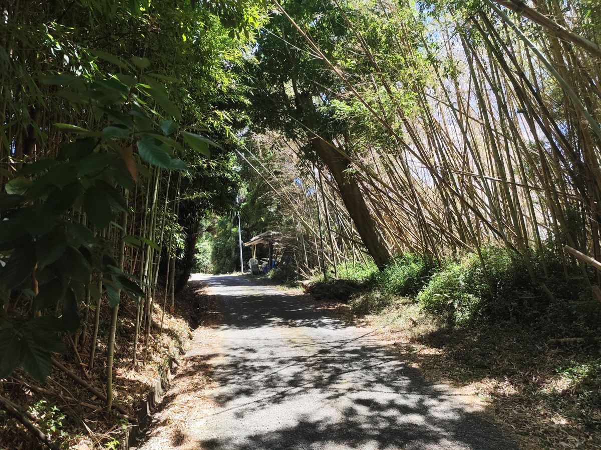
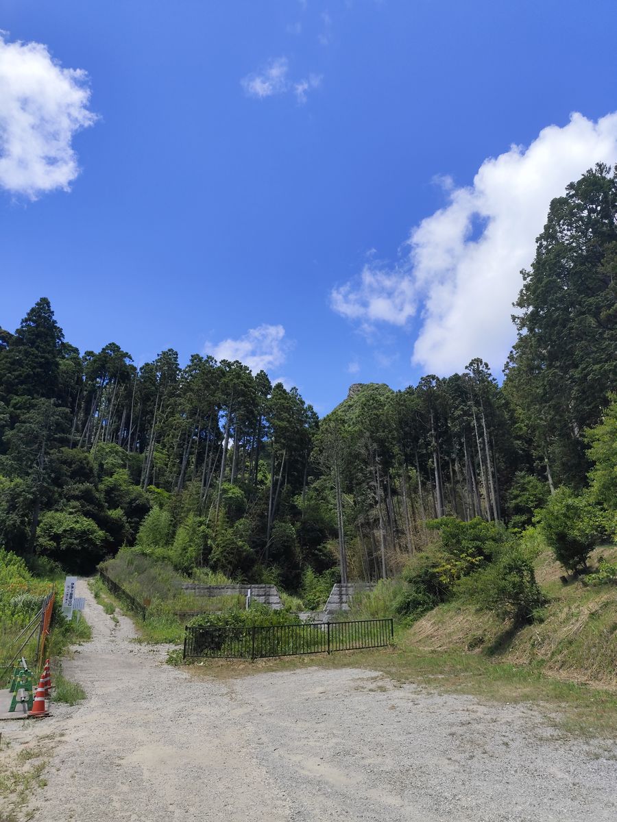
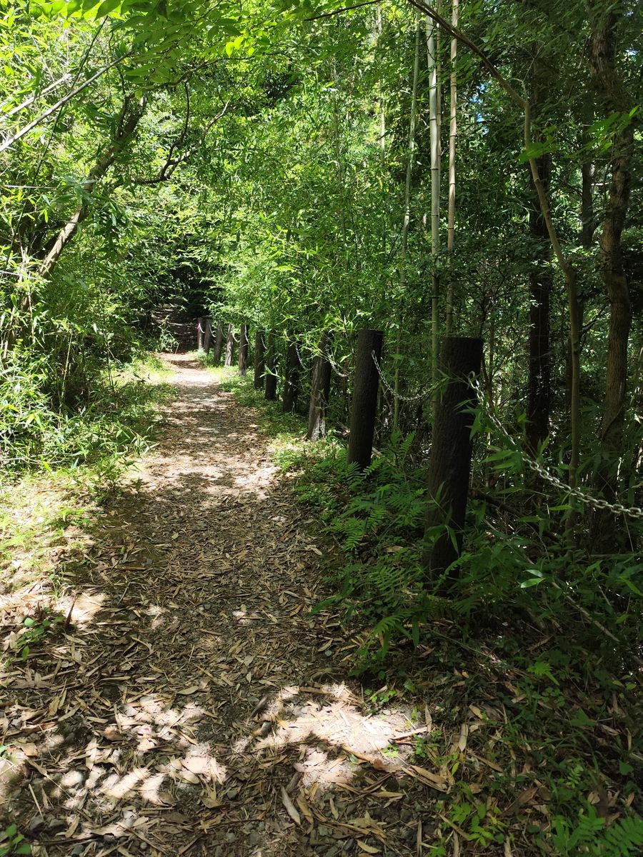
The way to the trailhead is super chill, I don't remember bumping to a single person the whole time and just enjoyed the nature around me. You get to walk through bamboo trees, open fields and some hills.
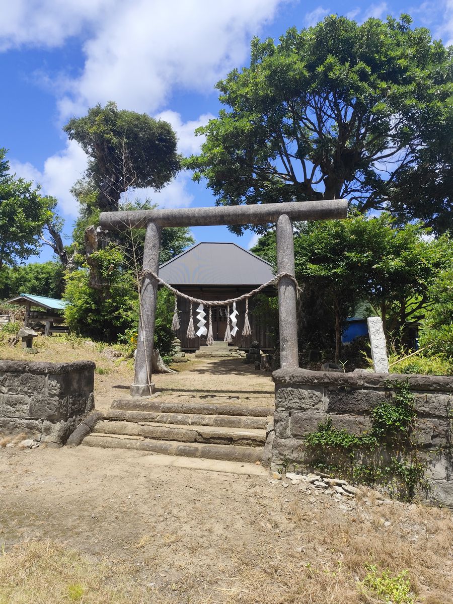
There's even a shrine that gives a creepy vibe at the top of a hill.
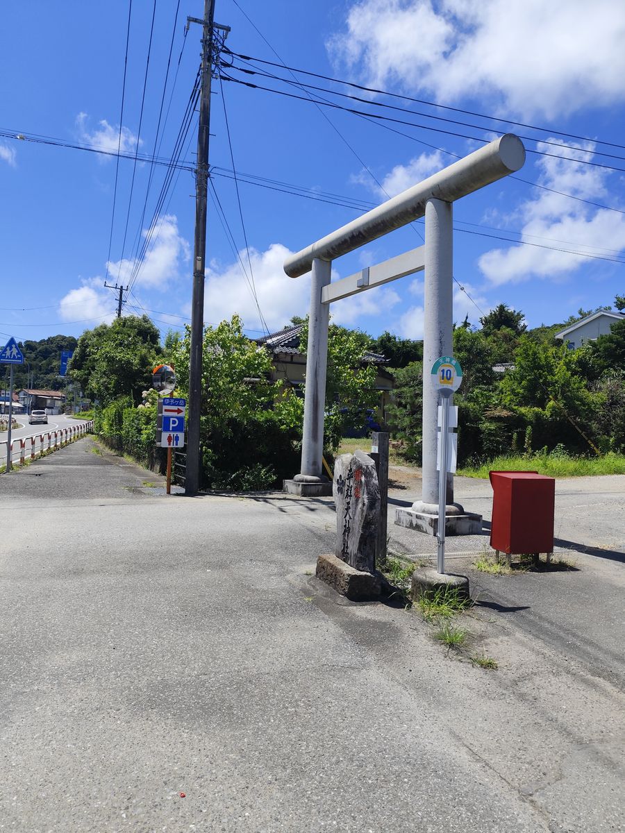
After 1 hr. and 45 mins. walk, I arrived at the trailhead. A torii gate entrance to Heguri-Tenjinsha. I ate some of the food that I bought from Lawson and took some rest before the climb. I really want to get a Coke and tried two vending machines near the trailhead where both didn't accept my ¥1,000 bill. I'm not sure if it doesn't have a change because the instructions shows that it should accept ¥1,000 bills.
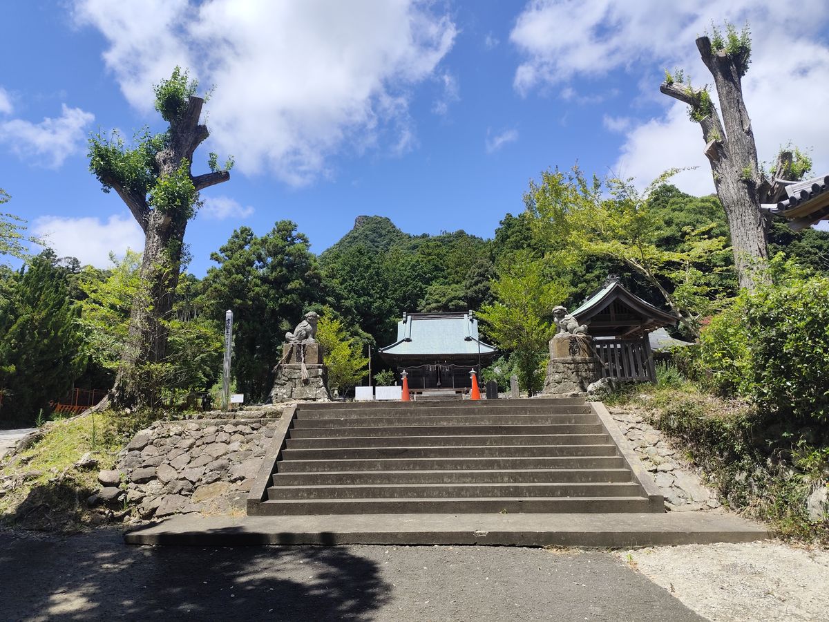
This is a nice shot of the shrine showing Mt. Iyogatake at the back of the shrine. And this is also where I first saw a person and he's also climbing the mountain.
I explored the shrine for a bit as the guy went to the trail.
I finally started the climb. The 3/4's of it was an easy hike, it's quite steep but the route looks maintained, there were a few steps that were quite messed up but overall doesn't scream danger.
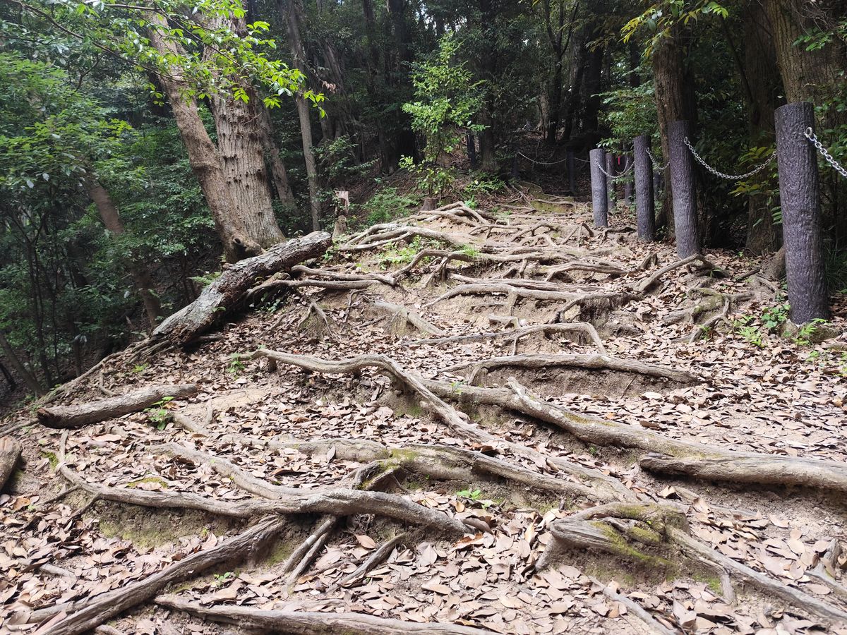
There's also a part that I find really cool with some roots growing above the ground.
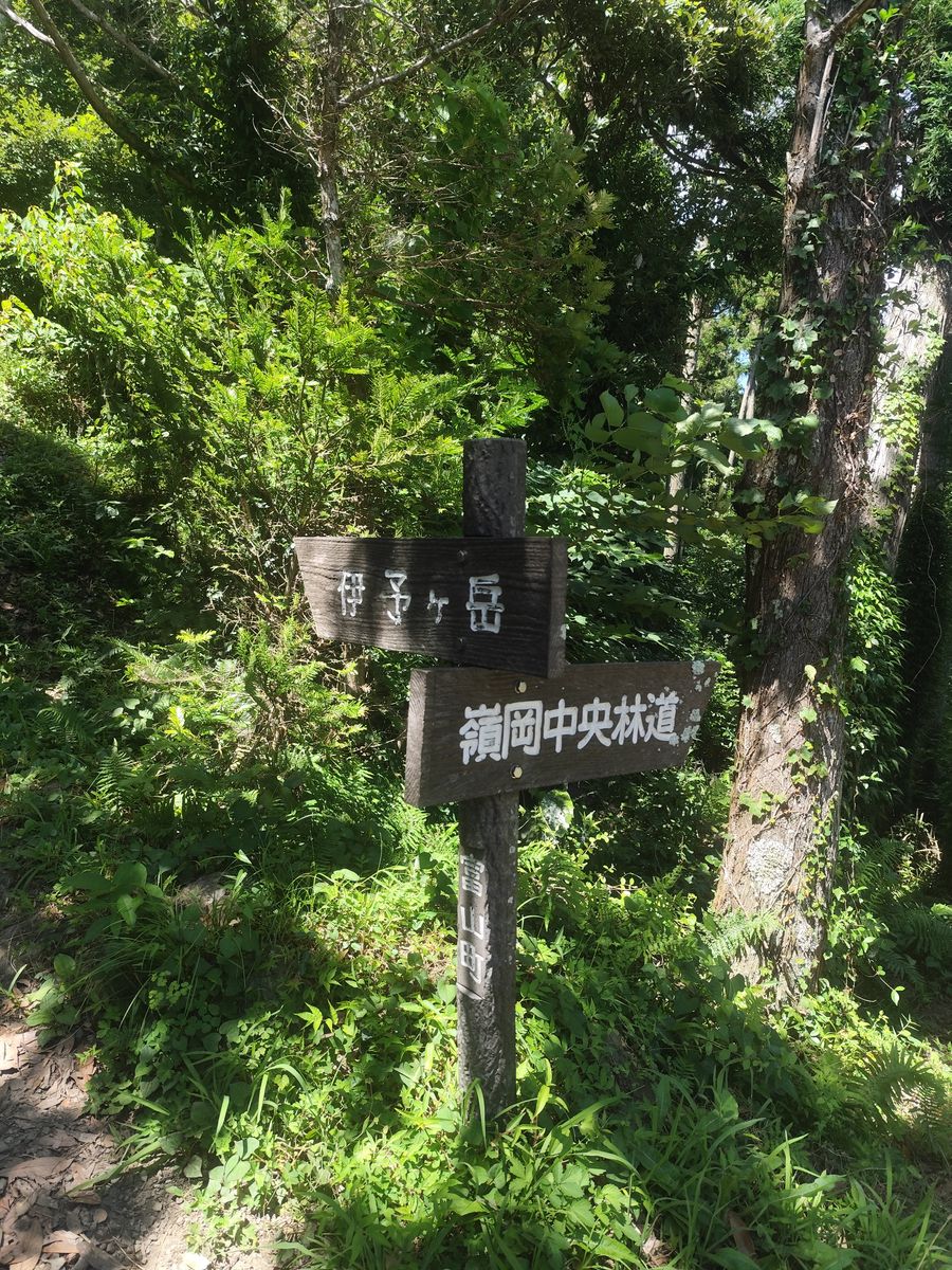
It's also near impossible to get lost since there are lots of markers along the way.
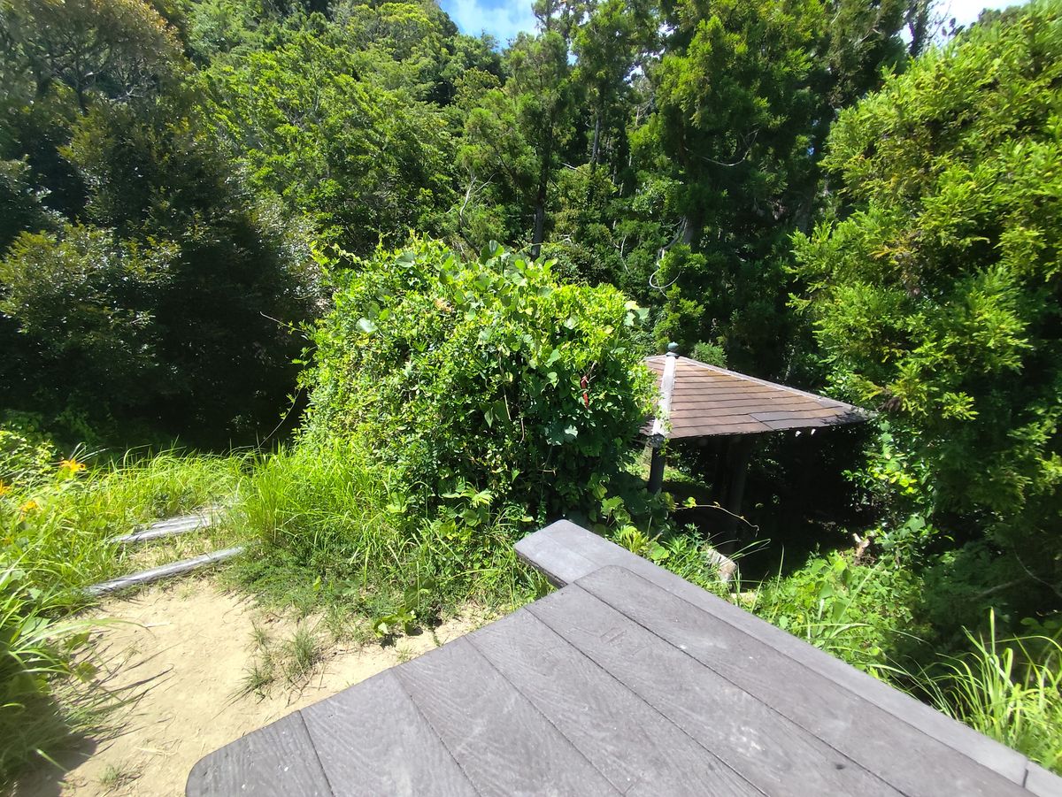
Then you'd come across a resting area. I think for people that doesn't want to go rock climbing, this is the final point before you head back.
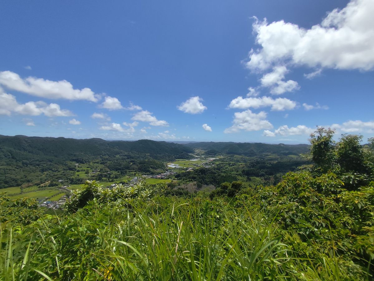
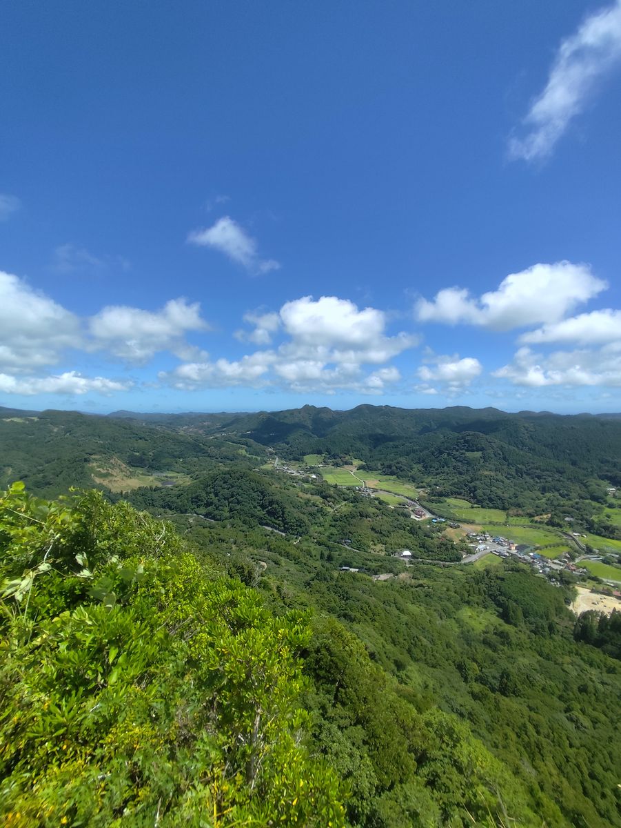
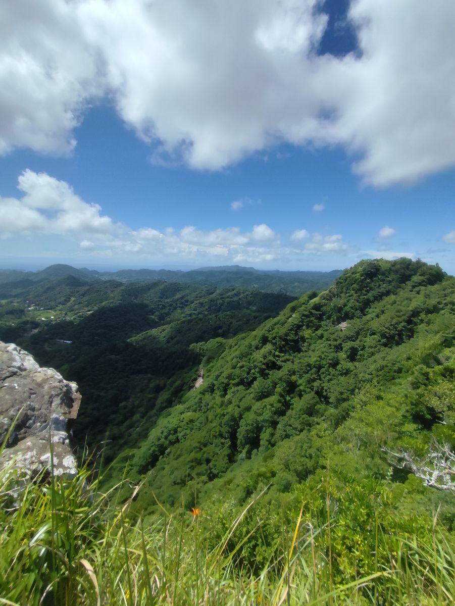
It has some nice view already since its about 3/4 of the whole climb.
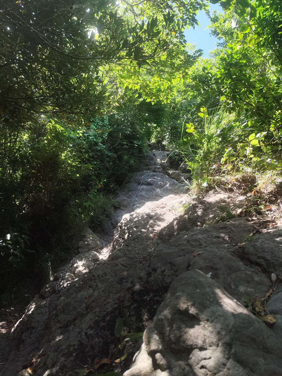
Then you get greeted by the chains. For experienced climbers, I think you wouldn't be using the chains that much but it really helps during the descent. There are some sections that are vertical but its really short and overall it's a lot of fun.
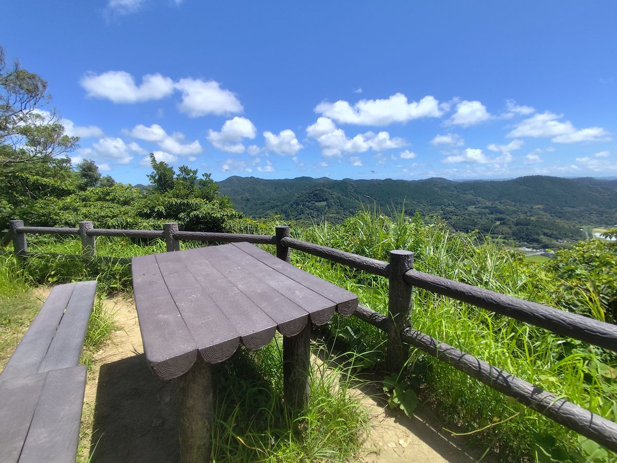
Summit (left side view)
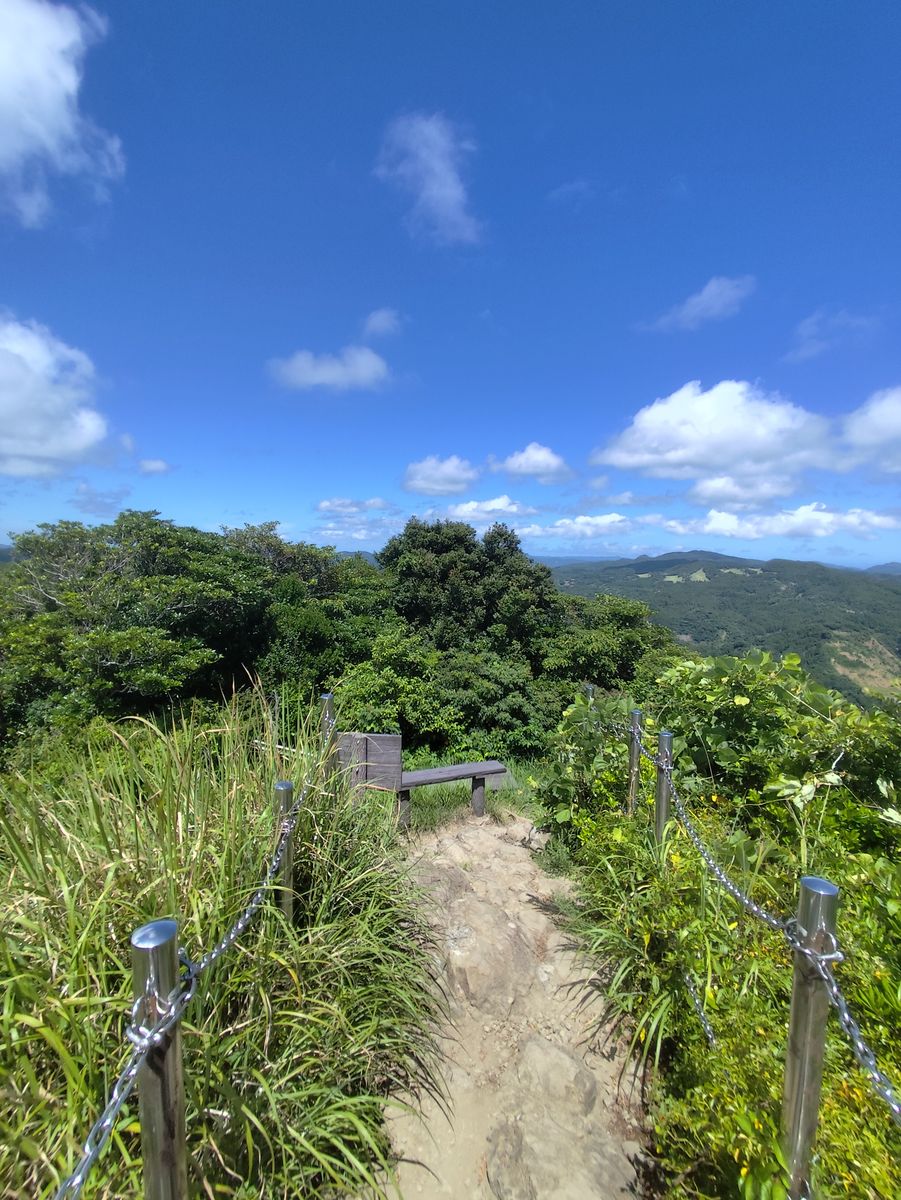
Finally I arrived at the summit. It was a super hot summer day and the summit is a rock so it doesn't have any trees at the top. But there's a table so I hid under it while eating some bread and re-hydrating myself.
Summit (right side view)
Summit (behind)
After a quick rest, I decided to begin my descent since I have a bus to chase at 2:48 PM. That's the third and last bus of the day so if I miss it, I have to walk 8 km again.
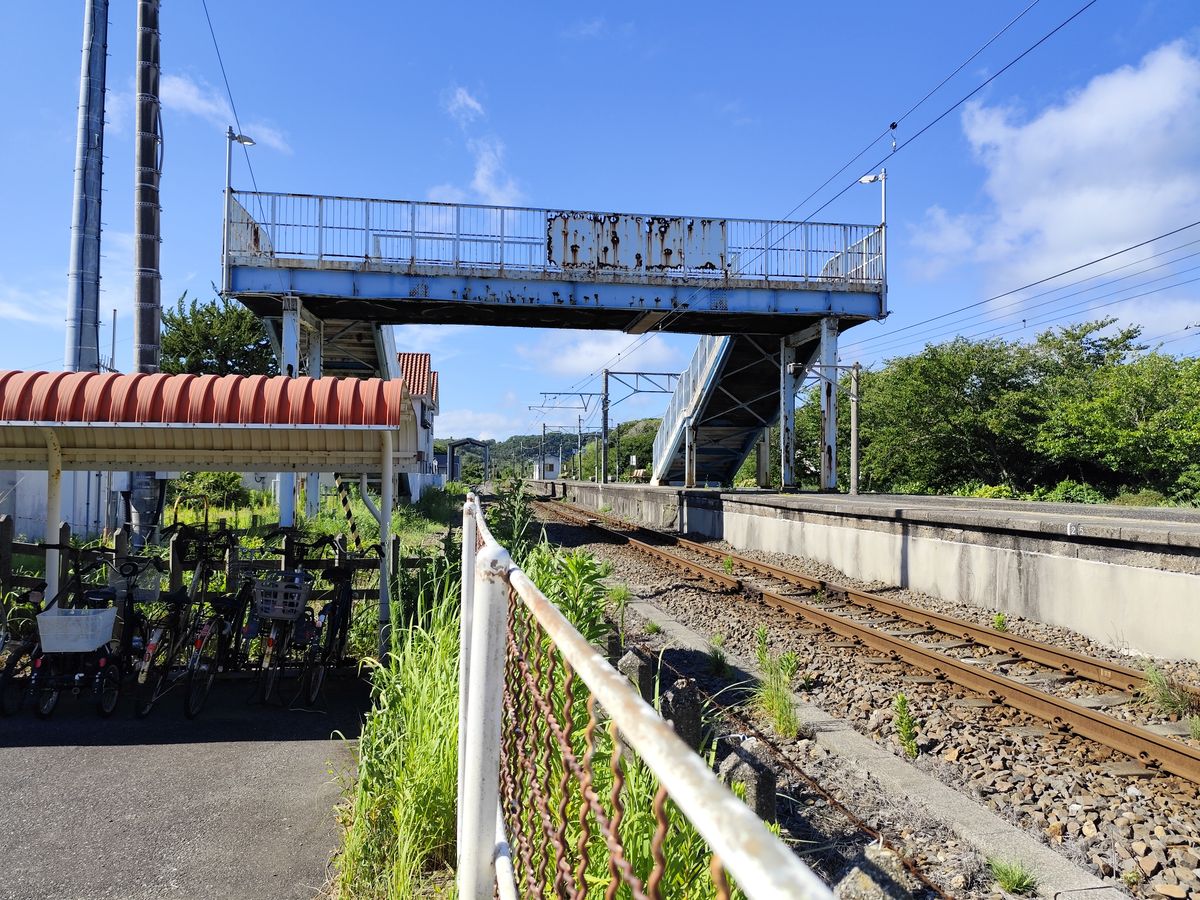
I arrived back to the station again and I have an hour to wait for the train back to the city. There's a park beside the station called Fusehime Park. There's a statue of a princess and a dog that I knew nothing about and later found out that its from a famous 19th century epic called Nanso Satomi Hakkenden.
I stayed there for an hour drinking Coke and eating some leftovers from my earlier meal.
After an hour, at 3:50 PM I got into the train and went straight home.
It was a fun hike and a very peaceful one. I only met 2 other people during the climb, the guy that was on the shrine, and another guy at the chain section. If you plan on going here from Tokyo, it can take 4 hrs. or more by train and bus. I think its easier by car since you can use the Tokyo-Chiba Aqua-Line Expressway and also, never have to worry about the bus times.
Here's the trailhead at Google Maps!

